
There are a bunch of intersecting loop trails, totally about 15 miles. We did about 5 of them and saw an interesting collage of nature. The trail started out with a nicely wooded trail and then opened up onto basically a dirt road that led to a little pond.

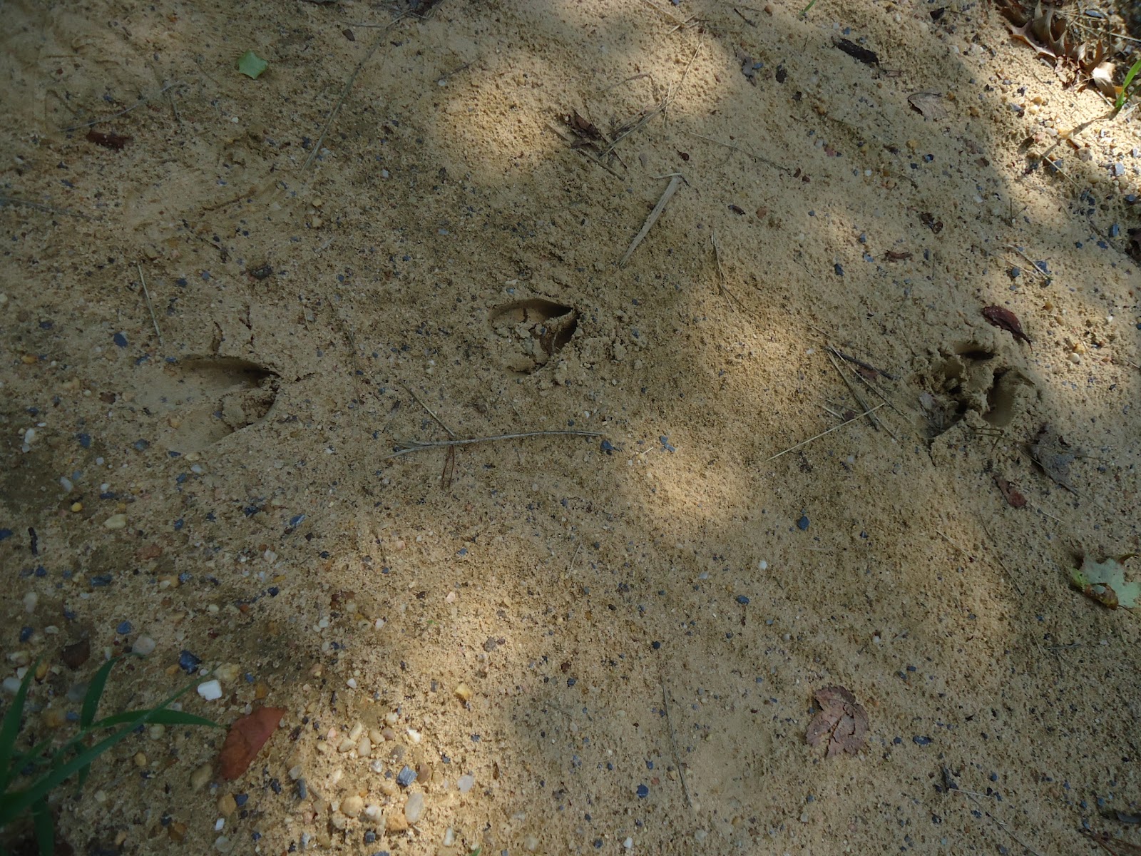
It was very serene and Biz identified woodpeckers and cicadas. My woodsense is about as good as my directional sense. :) She spotted all sorts of wildlife - goldfinches, some green beetle thing, dragonflies, butterflies, and even found deer tracks!
After a little more hiking down the dirt trail, the path opens up and you see these gigantic power line towers. There wasn't a whole lot of shade on this part of the trail so we booked it back around to the woodsy part.

It's a nice little place, but there's long sections of unattractive road so not my favorite hike so far.
No comments:
Post a Comment